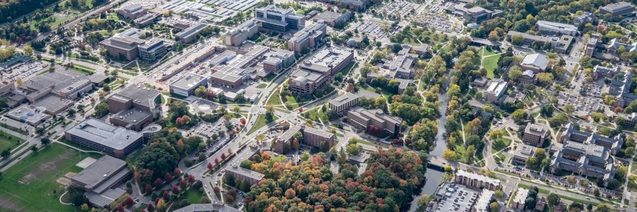
MSU Facilities and Land Use Plan

On Dec. 15, 2023, the Michigan State University Board of Trustees approved the Integrated Facilities and Land Use Plan, the result of nearly two years of engagement with the Spartan community. The plan provides a flexible framework to guide the campus’s physical development for years to come.
View the Vision 2050: Integrated Facilities and Land Use Plan on campusplan.msu.edu >
